For those who have never heard of indoor=, you may want to read the introductory blog post. In short, it is a map that displays the indoor data of OpenStreetmap with a level selector.
I’ve released a new version of indoor= that brings visual, interaction and deployment enhancements.
Visual Enhancements
Display of contiguous areas without walls
Previously, contiguous areas and corridors were rendered with a border, whereas the documentation states that they have no walls. They are now merged to avoid any rendering with a separation. The difference is noticeable in some areas.


Columns management
The indoor=column tag is an undocumented but fairly widespread (> 2000 uses) tag that is used to render indoor poles.
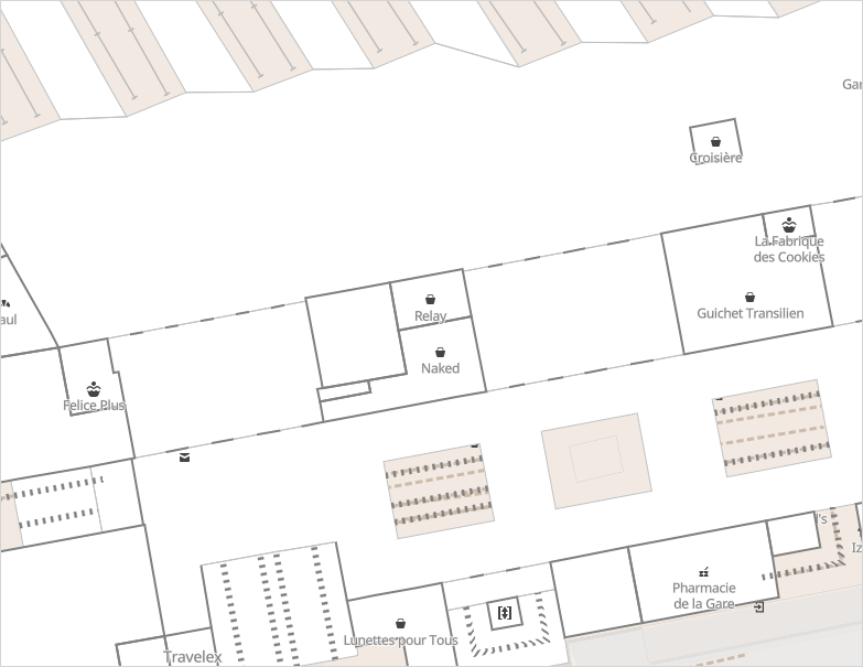
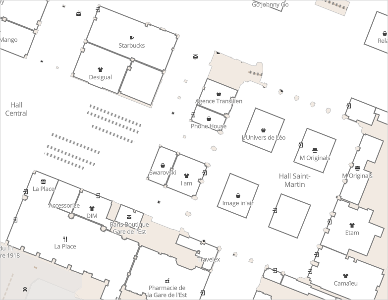
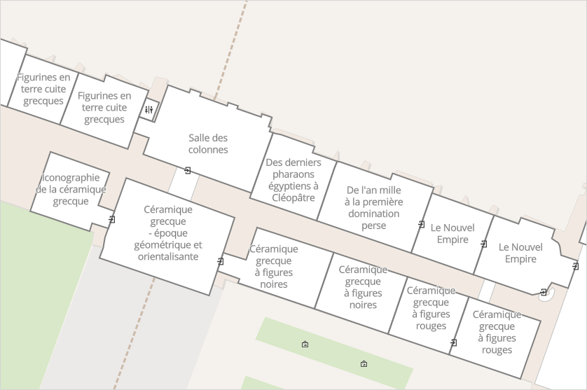
Room Names
In most public buildings, rooms have names. It is displayed in the centre of the room.
Points of interest details
It is possible to display details on a point of interest. To do so, click on the icon or the name of a point of interest.
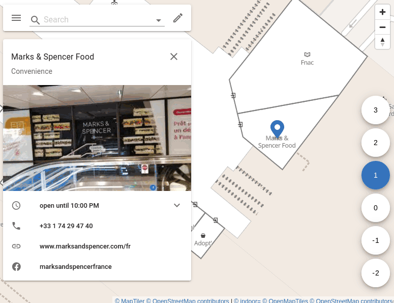
Different details are displayed such as the phone number, the website, the facebook page or the accessibility of the place.
Openmaptiles-tools update
indoor= is built with the invaluable help of openmaptiles-tools. Version 5.2 is now in use which brings many improvements. For instance, it is much easier to render a planet sample and retrieve a mbtiles file.
Other new features
Translation
It is possible to translate the interface of indoor= into your language. Please visit Transifex for this matter.
Indoor= integration in your map
If you missed it, it is possible to integrate the tiles and the indoor= style everywhere with the mapbox-gl-indoorequal plugin.
What’s next?
Do you have any improvement ideas? You can submit your requests on the github project page.