
indoor= is a new rendering of OpenStreetMap’s indoor data. It displays the building’s floors, level by level.
When at a proper zoom level and centered on an indoor mapped building, the indoor data of each floor and the list of the levels will be displayed. The level selector allows you to change the displayed floor.
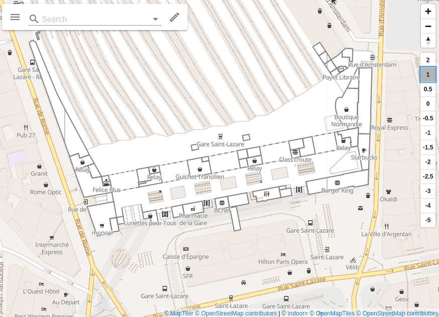
A few examples
You can also use the Explore item in the menu of the website to discover more examples around the world.
A technical point of view
The supported attribute scheme is Simple Indoor Tagging.
indoor= uses vector tiles that contain only indoor data. The creation of these tiles uses the OpenMapTiles tools.
The map background used is provided by MapTiler.
Why indoor=?
indoor= is a reference to the indoor tag in OpenStreetMap that is used to map the indoor data.
What is the coverage?
The coverage is global.
How often is the data updated?
The data is currently updated on an hourly basis.
What is it used for?
It allows you to navigate in the buildings, prepare your visit, see your connections…
It also allows OpenStreetMap contributors to edit OpenStreetMap and validate their contributions in a visual way.
What’s next ?
Now that the base is ready, the idea is to work on a better rendering of the map with more colors and other features.
If you have any ideas or feedback, please let me know !
Links
-
Web-site: indoorequal.org
-
Web-site source code: github.com/indoorequal/indoorequal.org
-
Vector Tiles source code: github.com/indoorequal/indoorequal
Special thanks to Florian Lainez for proofreading this.